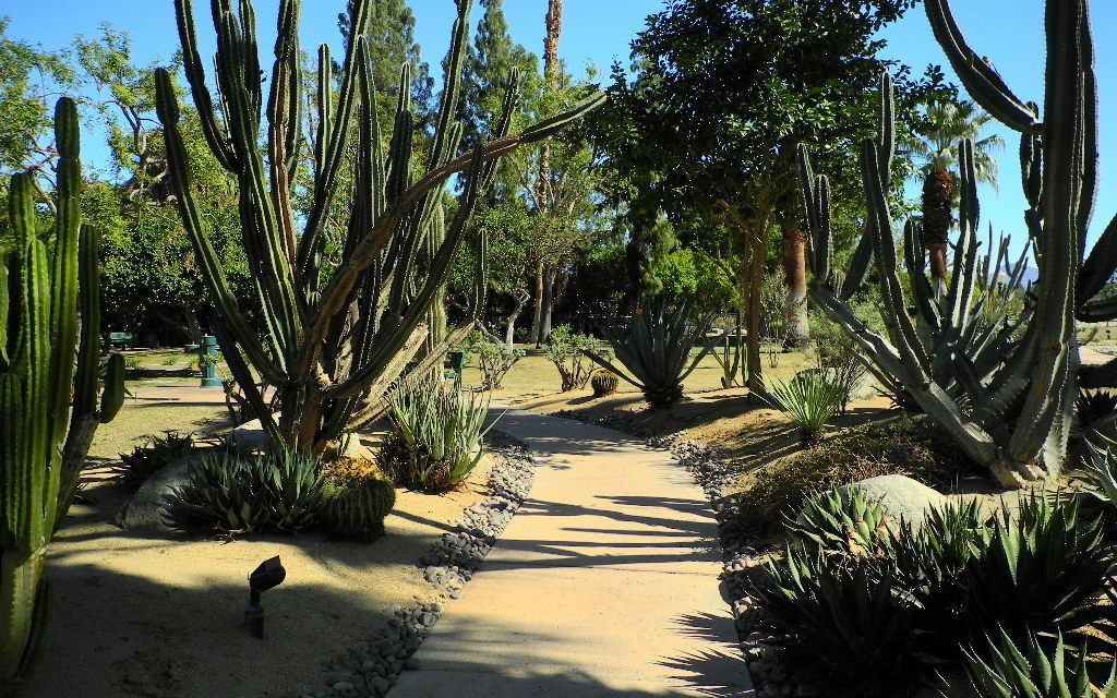
Rancho Mirage’s paved Butler-Abrams Trail totals 2.2-mile round trip
Hikers can enjoy an urban hike along a segment of the only “river” that runs through the Coachella Valley.
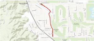
Butler-Abrams Trail topo map
Rancho Mirage’s paved Butler-Abrams Trail totals 2.2-mile round trip with most of it along the storm control channel of the Whitewater River. A storm control channel may not sound like the most exciting place to walk, but the mountain views are fantastic while the river offers its own delights. If you need an easy trail with a paved surface or find going into the foothills a bit intimidating, this is your trail.
To reach the trailhead, park in the pullout for Michael C. Wolfson Park along the south side of Frank Sinatra Drive just east of Da Vall Drive. The trail begins at the park’s northwest corner and heads southeast through it.
About 0.08 miles in, the path leaves the park. The trail then runs alongside and above the Whitewater River, whose course has been straightened by concrete walls to prevent flooding.
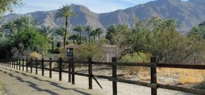
Great mountain views abound from the trail.
The Whitewater River begins at 11,499 feet atop Mount San Gorgonio. Early Spanish explorers in the area called it Agua Blanco, which translates to “white water” in English. Thanks to the silicate and lime sediments it carries off the mountain, the river has a milky appearance.
Once the river reaches the Coachella Valley, though, most of in sinks into the porous desert floor and becomes part of the groundwater aquifer.
Heavy rainfall in the mountains, though, can send the river rushing 53.9 miles into the north end of the Salton Sea, where it drains at 233 feet below sea level. That’s a gradient of more than 21 stories per mile, and while most of it is above the elevation drop occurs before reaching Palm Springs, that still makes for quite a rush in the valley.
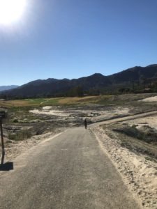
The trail’s four-story descent into the Whitewater River channel is gradual.
Indeed, the river once created a temporary proto-Salton Sea before today’s waterbody formed when an irrigation canal from the Colorado River broke and filled the Salton Sink in 1905. Back in 1862, the Whitewater River flooded 100,000 acres of the sink.
Between 1884 and 1916, the Whitewater River flooded parts of the valley an average of once every 3.2 years. The last flood left Cathedral City under two feet of water while the river stretched a mile-wide in Indio.
A stormwater channel finally was constructed in the late 1960s, but those efforts were hampered by more floods occurring during that effort.
At a third of a mile from the trailhead, the trail turns south and descends into the river. This is the only significant elevation change on the trail, about 42 feet overall.
The few times each year that the Whitewater River flows, the trail temporarily closes at the crossing.
The rest of the year, the trail then runs along the river’s west side, as the waterway curves south. The practice area of the Club at Morningside is on the river’s east side. The trail ends at Country Club Drive, and this marks a good spot to turnback.

The storm channel’s moist environment allows desert plants to flourish in and along it.
Along the way, you’ll enjoy nice views of the mountains surrounding the valley. The Santa Rosa Mountains dominate the view heading southeast but on the way back first the Little San Bernardinos loom in the north then upon recrossing the river, Mount San Jacinto rises in the west.
While hardly a riverine environment, desert scrub does grow in the slightly moist channel, attracting some birds. After a small rainfall, it can be quite verdant.
There’s virtually no shade along the way, so be sure to don sunscreen, sunglasses and sunhat for the hike. Leashed dogs and cats are allowed on the trail.
Image Sources
- 02-great-mountain-views-abound-from-the-trail.: Rob Bignell
- 03-the-storm-channels-moist-environment-allows-desert-plants-to-flourish-in-and-along-it.: Rob Bignell
- The Butler-Abrams Trail: Rob Bignell

