Thomas Mountain East Trail can be 20-25 degrees cooler than the Coachella Valley floor during summer.
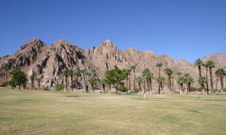
What’s on the other side of the San Jacinto and Santa Rosa Mountains to the Coachella Valley’s west?
Desert? More mountains? Urban sprawl?
Try dozens of great hiking trails and cooler temperatures. In fact, the other side of those mountains mark an excellent place to escape the Coachella Valley’s oven furnace heat during summer.
One great hike to try is the Thomas Mountain East Trail. It runs 11.8-miles round trip from the bottom of Garner Valley to the summit of the prominent mountain in the San Bernardino National Forest. Though the trail sports a 2000 feet elevation gain, the climb is gentle all the way.
To reach the trailhead, from Palm Desert take Calif. Hwy. 74 south into the mountains. You’ll drive for about a half-hour on the Palms to Pines Highway. Roughly three miles past the Hwy. 371 cutoff, go left/south onto Pyramid Peak Road. You’ll find a brown sign for Thomas Mountain just before the turn. When Pyramid Peak Road dead ends, go left onto Hop Patch Springs Road. Park well off the side of the road when it turns to dirt in about a mile.

Ponderosa pine dominates Thomas Mountain’s forested top.
The hike starts with a walk up the dirt road that ascends Thomas Mountain’s side. The first half-mile heads through ponderosa pine. On some maps, this section of the trail is referred to as the Thomas Mountain Truck Trail.
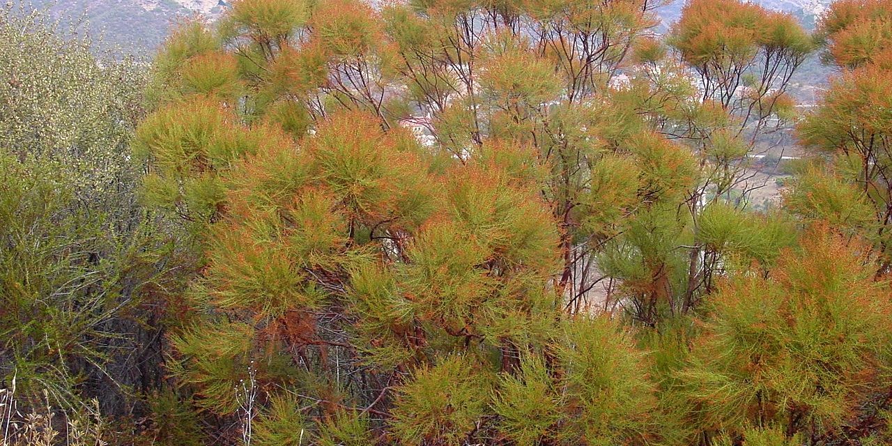
The pine soon thins out as the trail enters high chaparral country with plenty of ribbonwood. The tree often is called redshanks because of its shaggy shanks—or ribbons—of bark that fall off it. Ribbonwood prefers north-facing slopes, especially around 4000 feet elevation. They do well in chaparral environments, as they often resprout after a fire.
Wildflowers usually can be spotted from March through May when enough winter snow has fallen atop Thomas Mountain. If hiking other times of the year, especially during the early morning, you’ll catch the scent of sage in the moist, cool air.
At about 1.14 miles, the trail splits. Go left/west and keep ascending the mountain, which sometimes is referred to on maps as Forest Route 5S15. The other route, shown on some maps as the Jim Truck Trail, descends.
The trail crosses a cow grating at about three miles in. Sometimes you can spot cattle grazing nearby on the chapparal. Don’t worry, they won’t bother you, but be smart and not tempt fate by bothering them.
About 4.1 miles in, the hike passes an intersecting trail that goes to Tool Box Springs and connects with the Ramona Trail. Go left/southwest and continue hiking along the ridgeline.
The trail re-enters a forest around 5 miles in. Ponderosa pine dominates here and to the mountain’s summit. The evergreen ranges from 40-223 feet tall with a trunk diameter of 7 feet wide. Younger trees have blackish-brown bark, so early loggers referred to them as “blackjacks.” Mature ponderosa pines, however, have yellow to orange-red bark in broad plates with black crevices between them. Sometimes the tree hybridizes with Jeffrey pines.
At 5.2 miles, another trail heads south down the mountain. Ignore it and continue right-straight/northwest. You’ll junction with another trail that goes right at roughly 5.6 miles; continue left/west.
You’ll soon arrive at the mountain’s top. The summit sits at 6794 feet above sea level. While nowhere near the height of Mount San Jacinto, Thomas Mountain still can be a full 20-25 degrees cooler than the Coachella Valley floor during summer.

Picnic tables, great views, and restrooms grace Thomas Mountain’s summit.
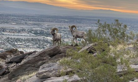
Thomas Mountain’s summit offers great views of the Anza Valley to the south with the Anza-Borrego Desert in the southeast. The San Jacinto Mountains and the Desert Divide are to the north. You know what’s on the other side of those mountains.
Restrooms and picnic tables are also at the summit, so be sure to pack a lunch.
After taking in the views and some sandwiches, retrace your steps back to your vehicle. You’ll be treated, along the way, to fantastic views of Garner Valley below and the San Jacinto Mountains beyond.
The chapparal portion of the trail is partially open to the sun, so be sure to don sunscreen, sunglasses and sunhat, as well as bring plenty of water.
Image Sources
- Ribbonwood: Rob Bignell