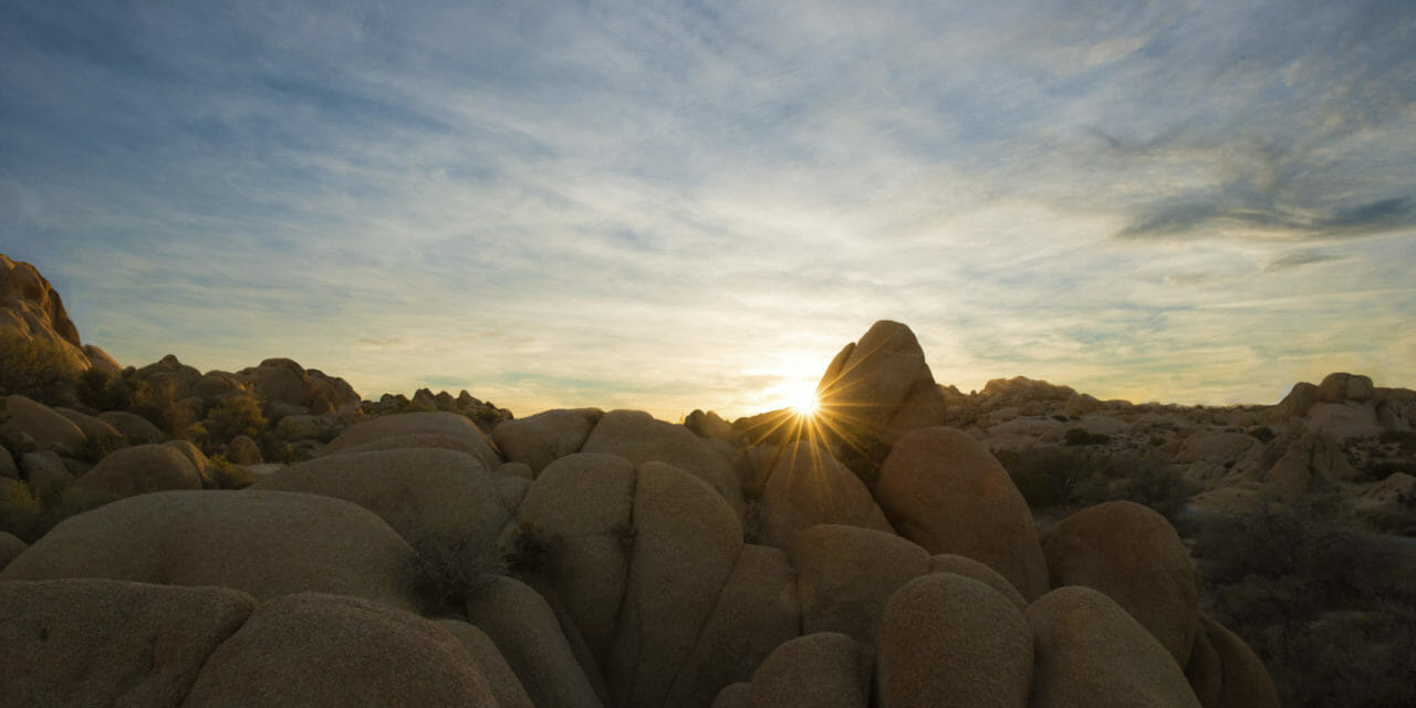
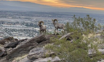
Coachella Valley denizens can day hike to Skull Rock – not the one in Neverland of “Peter Pan” fame but one bearing an uncanny resemblance – in the Mojave Desert.
The Skull Rock Nature Trail runs 1.75-miles round trip in Joshua Tree National Park. For those staying at the nearby Jumbo Rocks Campground, it’s a must-see.
Spring and fall mark the best time to hike the loop if only because temperatures will be more comfortable. Early morning right after dawn and late afternoon just before dusk offer the best lighting. If heading to Joshua Tree in winter, be sure to bring a sweatshirt, jacket and light gloves.
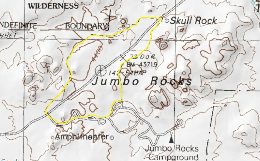
Map of Skull Rock Nature Trail
To reach the trail, from the Coachella Valley take Calif. Hwy. 62 to the park’s north side. Use the north entrance, which is in Twentynine Palms, three miles south of the junction of Hwy. 62 and Utah Trail.
The trailhead is on Park Boulevard, which is the main east-west road. Look for the roadside parking area immediately north of Jumbo Rocks Campground.
From the roadside parking area, head west onto the trail. Hikers’ feet over the decades have nicely compacted the trail’s sandy surface.
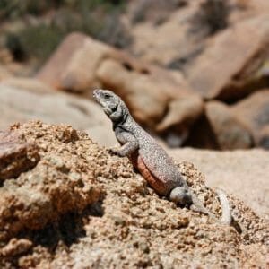
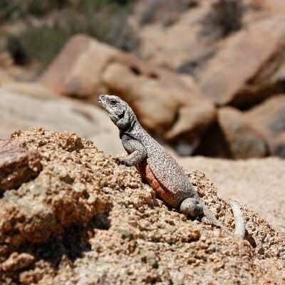
Keep an eye out for chuckwalla on the Skull Rock Nature Trail. NPS Photo by Stacy Manson
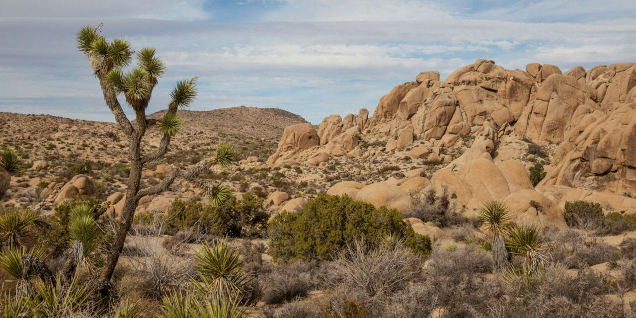
You’ll pass through a narrow canyon in which large granite rocks rise about you. Though seemingly desolate from a distance, these clusters nicely capture the desert’s scarce rain and create a number of micro-climates for varied plants and animals. Among the latter who find plenty of food here are bobcats, coyotes, chuckwallas, great horned owls, jackrabbits, snakes and wood rats.
The slot canyon opens onto a wash. Plants you’ll spot here are the park’s namesake, the Joshua tree, cacti, cholla, creosote, jojoba, juniper, Mojave yucca, nolina, oak, paperbag bush and pinyon.
After the wash, the trail comes to the base of another surreal boulder pile. The slabs in this area formed below the earth’s surface as tectonic movement heated the rock. As melting, it rose upward until cooling just below the surface. Called monzogranite, wind and rain eventually exposed them and further cracked their joints while shaping and rounding them.
Upon reaching Park Boulevard, cross at the walkway and follow the paved campground road west. There are limited facilities here, should you need them. When the campground road splits, go left then on the new road take the second left. The trail leaves the campground just before you crest this small loop.
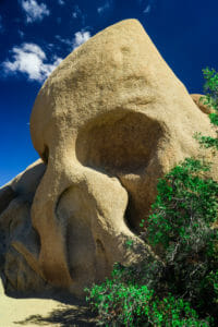
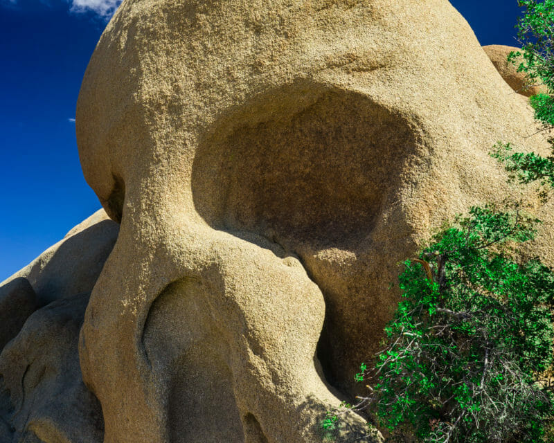
Skull Rock rises nearly two stories high.
Your route veers toward the Park Boulevard then wraps around the base of more boulder piles. Amid them, you’ll soon come across the rock formation appropriately named Skull Rock. It easily is the height of three grown men and sits elevated above the trail on a knoll.
When this slab of granite was exposed to the open air, two depressions existed where the formation’s hollowed eye sockets are. Rain drops accumulated in these depressions, eroding away more granite. As the depressions grew in size, so did the amount of accumulating rain, speeding up the erosion. Wind and rain meanwhile rounded the “head” above the eyes.
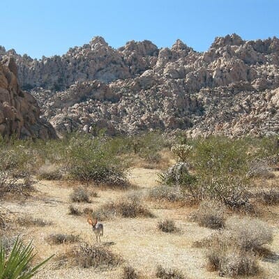
In the distance, you may spot jackrabbits scampering between rock formations. NPS Photo by Robb HannawackerBeyond the formation, take the trail to Park Boulevard. Cross at the walkway back to your vehicle. On the drive out, stop at the Oasis Visitor Center for some great displays and exhibits about the park’s geology, flora and fauna.
Lastly, some safety notes: Most of the hike is in the open sun, so be sure to lather on the sunscreen, wear a sunhat, and to carry extra water. If scrambling over the rocks, be sure to keep your balance (the fall is a hard one) and never place your hands or feet into a crevice where you can’t see them, as there could be poisonous snakes resting there.

