You won’t find the Devil Canyon Trail on maps
Day hikers can head into the foothills overlooking La Quinta, on the Devil Canyon Trail.
The trail runs 3.6-miles round trip, but adventurous types can extend the hike to 5.12-miles round trip by going deeper into the canyon. As a side note, you won’t find the Devil Canyon Trail on maps as it’s not the route’s official name – it doesn’t have one – but the opening part of it is the Coral Mountain Trail.

The trail to Coral Mountain crosses open desert.
To reach the trailhead, from Calif. Hwy. 111 just east of La Quinta, take Madison Street right/south. At 58th Avenue, turn right/west. The Coral Mountain Trailhead is on the left/south after passing Sidonia Way. Park on the sandy pullout along the road’s left/south side.
Follow the dirt path southeast from the pullout. At the next trail junction, go right/south.
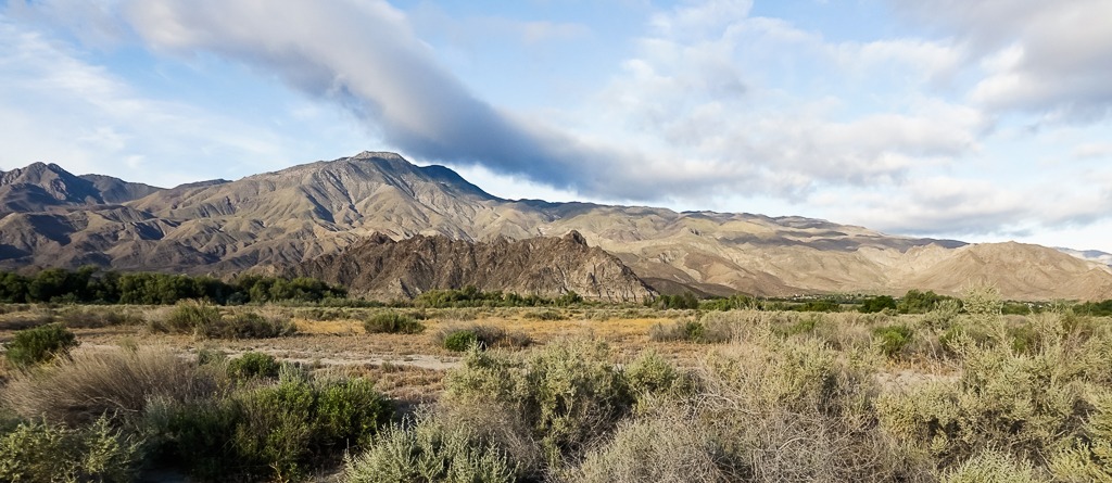
The trail here crosses the desert. Small cacti, scrub brush, and lizards highlight the stretch.
At 0.13 miles, come to a trail junction with three other trails. Take the one to the left/southeast; if the trail you came in on were at 1 o’clock on the circular trail junction, the path would be at about 5 o’clock.

03 Coral Mountain is made of granite speckled with soft colored rocks, giving it a pink glow when sunlight hits it just right. – Copy
The path crosses more open desert on its ways to Coral Mountain, a granite rock formation detached from the Santa Rosa Mountains. Coral Mountain tops out at 465 feet above sea level. The formation, like the trail, technically has no official name, but most locals call it that, and for good reason – several soft colors, including pink, are embedded in the granite. From distance and in the right sunlight, it looks like the color of coral.
You’ll reach the rock formation at about 0.28 miles. Once there, take a trail going right/west and then right/north, circling around the northern side of Coral Mountain. As rounding it, you’ll spot The Quarry at La Quinta before you.
Around 0.47 miles, you’ll arrive at another trail junction; go left/south onto it. This used to an old jeep trail.
The trail heads up a wide wash. You’ll want to wear hiking boots with good traction to ford the sand. A trekking pole also is recommended.
At 1.04 miles, the route comes to the edge of the foothills for the Santa Rosa Mountains. From there, the trail heads alongside the formation’s southeastern side.

The entrance to Devil Canyon follows Guadalupe Creek into the foothills. Note how the rocks are a different color than Coral Mountain.
You’re now in the mouth for Devil Canyon, formed by the intermittent Guadalupe Creek.
At about 1.8 miles, the trail peters out. For those just out for a pleasant walk, this is the turnback point.
You can continue onward, though. The terrain will be rocky and potentially overgrown depending on how recently the creek flowed. It’ll also be steep, gaining about 1200 feet elevation in 0.66 miles. Lastly, the route also narrows, but that makes for a visually more interesting hike as the canyon walls rise around you with Boo Hoff Peak rising to 1715 feet in the north.
If continuing on, in about 2.46 miles the canyon splits. Go left/southwest. In another tenth of a mile, the trail comes to where Guadalupe Creek spills over a ledge; unless willing to do some difficult rock scrambling, the canyon is impassable at this point and a good spot to turn back.
Do not hike this route if rain is forecast or if it has fallen higher in the mountains within the past 24 hours. Though the canyon walls can provide shade, it’s otherwise entirely open to the sun, so be sure to don sunscreen, sunglasses and sunhat.
Image Sources
- 03-coral-mountain-is-made-of-granite-speckeld-with-soft-colored-rocks-giving-it-a-pink-glow-when-sunlight-hits-it-just-right.: Rob Bignell
- Coral Mountain: Rob Bignell