Escape desert heat atop San Jacinto Peak
If you want to get outside, there’s no better way to escape the heat right now than to gain some elevation.

Temperatures high on San Jacinto Peak usually are 20 to 30 degrees cooler than on the valley floor.
One great way to do that is heading to the top of San Jacinto Peak, where daytime temperatures are a good 20 to 30 degrees cooler than on the valley floor. That alone almost makes the mountain’s fragrant evergreens, shaded trails, and fantastic views a mere afterthought.
Towering 10,824 feet into the sky – a full 1.95 miles above Palm Springs – San Jacinto Peak is the highest point in the San Jacinto Mountains and Riverside County, and the sixth highest in the lower 48. It dominates Palm Springs’ skyline and can be seen throughout the valley.
Plenty of hiking trails run across San Jacinto Peak. A good one that will be a challenge for new hikers but a moderate workout for longtimers is the 8-mile round trip Willow Creek Trail.
The best way to reach the trail is to cheat a little by taking the Palm Springs Aerial Tram. From Palm Springs, drive Calif. Hwy. 111 north to the tram’s Valley Station, which sits at 2634 feet elevation. The tram climbs 6000 feet and lets you start the hike at 8516 feet. There is a fee to use the tram.
After taking a few steps off the tram, you’ll probably wonder why you’re breathing a lot harder. There really is less oxygen up there, so take it easy for a bit. Fortunately, the tram’s mountain station is a good spot to acclimate yourself to the higher elevation. The station includes an observation area, restaurant, snack bar and gift shop.

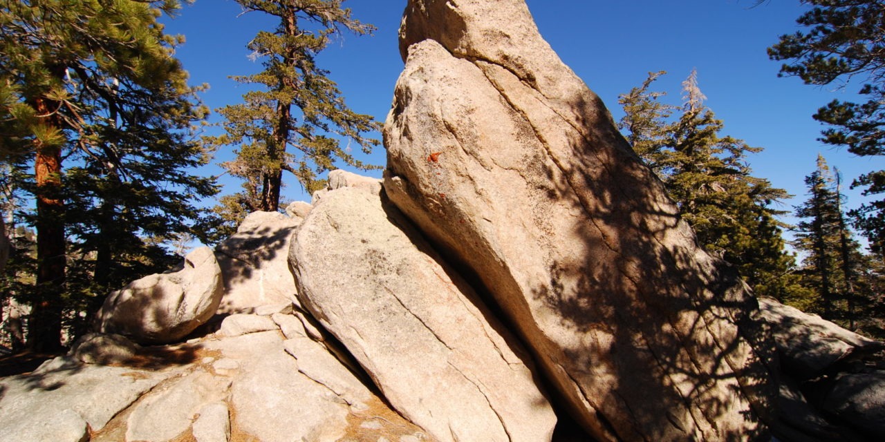
A variety of rocks formations can be seen among the conifers on the Willow Creek Trail.
rom the station, walk into Mt. San Jacinto State Park by heading uphill and west to Round Valley. At 0.3 miles is the Willow Creek Trail; go left/south onto it. Divide Peak and the 9356-foot high Landells Peak to its right loom ahead.
Jeffrey pine appears all along the trail. It typically grows around 80-130 feet tall but is smaller when at or near the tree line. Its resin smells like butterscotch. The tree often is confused with the ponderosa pine, as both look quite similar. To tell the difference, look at the cones – the Jeffrey pine’s barbs point inward so that they feel smooth, but the ponderosa pine’s barbs stick outward so they are prickly in the hand.
At 1.3 miles, the High Trail comes in from the right. Continue straight-left/south.
You’ll soon enter the Hidden Divide Natural Preserve. It’s so-named because the watershed splits there between the Long Valley Creek drainage to the north and Tahquitz Creek to the south. As a high point, this part of the trail offers great views of the San Jacinto range’s southern end, the Santa Rosa Mountains, and on a clear day even Palomar Mountain about 30 miles away. No off-trail hiking is allowed within the preserve.
Upon leaving the preserve, the trail descends. You’ll cross an intermittent stream. The trail soon leaves the state park and enters San Bernardino National Forest. In the national forest, the trail also is marked as “3E02” on maps.
Two interesting wildflowers bloom during summer along the trail.

The plain mariposa lily blooms in late June and July along the trail.
The plain mariposa lily is one of them. A truly Californian plant, it grows in the conifer forests of the state’s southern and central mountains, though it has been found in one Nevada county. Usually its bell-shaped flowers bloom during June and July in a loose cluster. Up to six erect bell-shaped flowers sit in a loose cluster. Its color ranges from white to light purple and sometimes there is spotting low at the base and greenish streaking on the outer petals.
The lemon lily also is in bloom during June and July. While found across the Southwest, in California it only grows in moist areas of the San Bernardino and San Gabriel mountains and around Palomar Mountain. Wonderfully fragrant, its bright yellow, trumpet-shaped flowers bloom in groups of up to 31 to a stem. Sometimes a few reddish spots appear on the flowers.
At 3.6 miles, you’ll reach a junction with the Cedar Trail that heads to Laws Camp. Continue right/northwest to stay on the Willow Creek Trail.
You’ll soon notice several burnt pine trunks. These are remnants of 2013’s Mountain Fire. The fire burned for 16 days and required 3500 firefighters to put it out.
The trail reaches Willow Creek at 4 miles. This is a good spot to turn back.
If you’ve got some extra energy, though, the trail does continue, crossing Skunk Cabbage Meadow and junctioning the Pacific Crest Trail in Saddle Junction at 5.6 miles from the trailhead, making for a 11.2 miles round trip hike.
Image Sources
- A variety of rocks formations can be seen among the conifers on the Willow Creek Trail.: Rob Bignell