
Towering 10,824 feet into the sky – a full 1.95 miles above Palm Springs –San Jacinto Peak is the highest point in the San Jacinto Mountains and Riverside County, and the six highest in the lower 48. Dominating the city’s skyline, a former mayor once called it “Palm Springs’ oceanfront.”
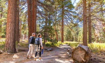
And yes, you can hike to the peak.
A number of routes allow to you to ascend the mountain, but the most popular and the easiest is the one – at 11.5 miles roundtrip with an elevation gain of 2400 feet – is described here. The route actually consists of several connected trails, each with their own name.
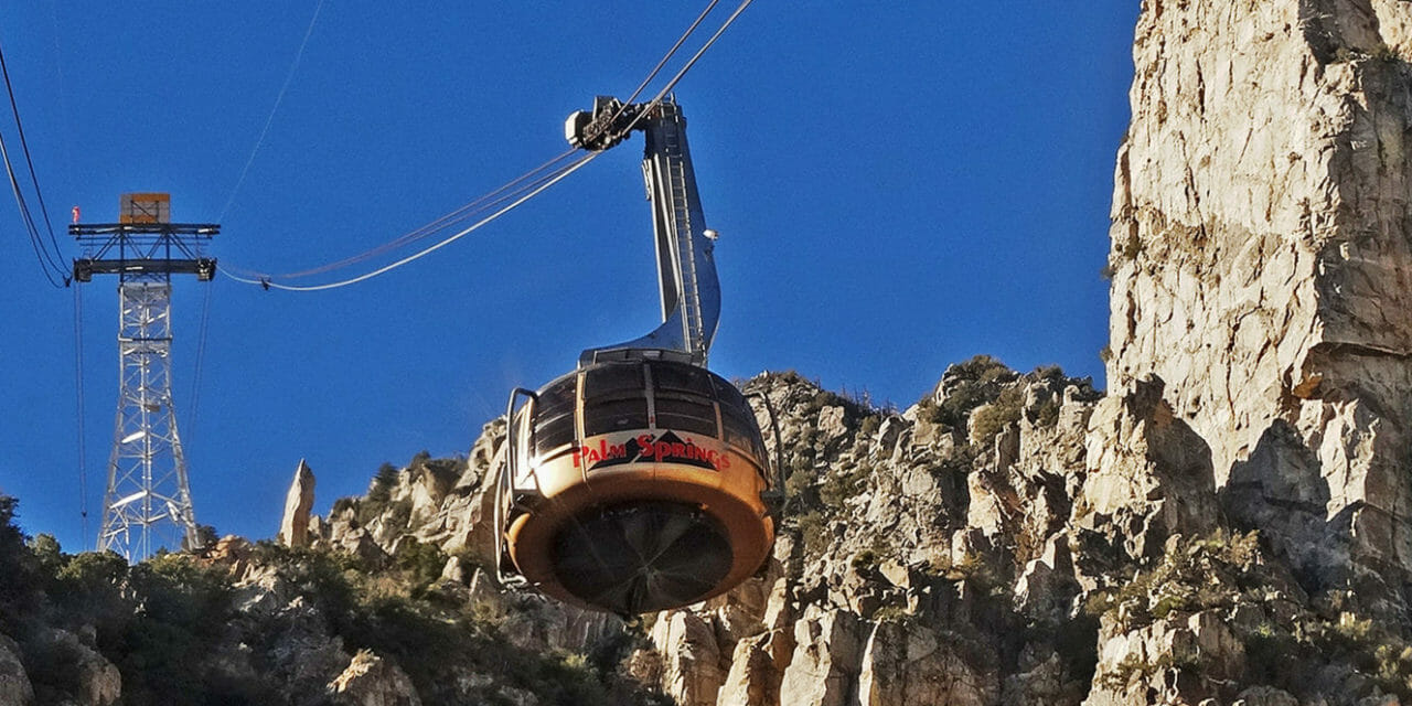
The best way to tackle San Jacinto Peak is to cheat a little by taking the Palm Springs Aerial Tram. From Palm Springs, drive Highway 111 north to the tram’s Valley Station, which sits at 2,634 feet elevation. The tram climbs 6000 feet and lets you start the hike at 8516 feet. There is a fee to use the tram.
The first thing you’ll notice upon departing the tram is the refreshing scent of pines, which contrasts with the smokier creosote in the valley below. The next thing you’ll realize – about a half-second later – is the cooler temperature. San Jacinto’s summit can be 40 degrees colder than in Palm Springs, and you’re only two-thirds of the way there. And then, after taking a few steps, you’ll probably wonder why you’re breathing a lot harder. There really is less oxygen up here, so take it easy for a bit.
Fortunately, the tram’s mountain station is a good spot to acclimate yourself to the higher elevation. The station includes an observation area, restaurant, snack bar and gift shop.
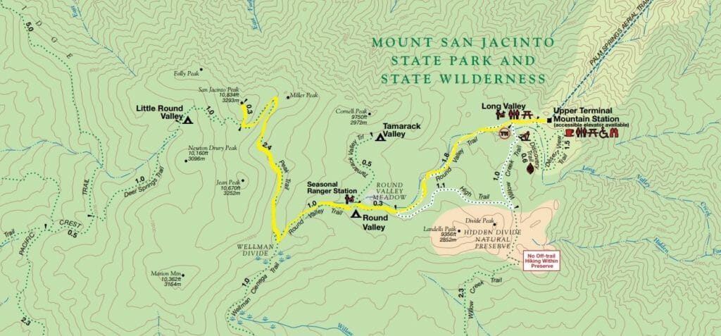 From the station, walk into Mt. San Jacinto State Park by heading uphill and west to Round Valley. At the trail junction, go straight/west onto the Round Valley Trail to the Long Valley Ranger Station. Once there, fill out day use permit at ranger station box; this is important for rescuers in case you should get lost.
Just after the ranger station, or 0.25 miles from the tram station, the trail splits again. The Willow Creek Trail is to the south but go right/west into Round Valley.
The trail parallels an intermittent creek. You may spot coyotes tracks on the ground or hear their yips and howls in the distance. They generally stick to themselves and so are no danger, though.
At the next junction, with the High Trail, you’ve reached the Round Valley Meadow at 9000 feet elevation. Go right/northwest, continuing on the Round Valley Trail.
The Cahuilla Indians, called San Jacinto Peak I a kitch (or Aya Kaich), which translates to “smooth cliffs,” an appropriate name given that the mountain’s north escarpment at 10,000 feet is the most severe in all of North America. For the Cahuilla, this was the home of Dakush, their founder.
In 0.3 miles, the trail reaches a seasonal ranger station. There the Tamarack Valley Trail heads north as a spur to a campground just below Cornell Peak.
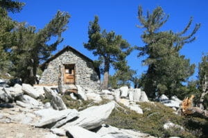
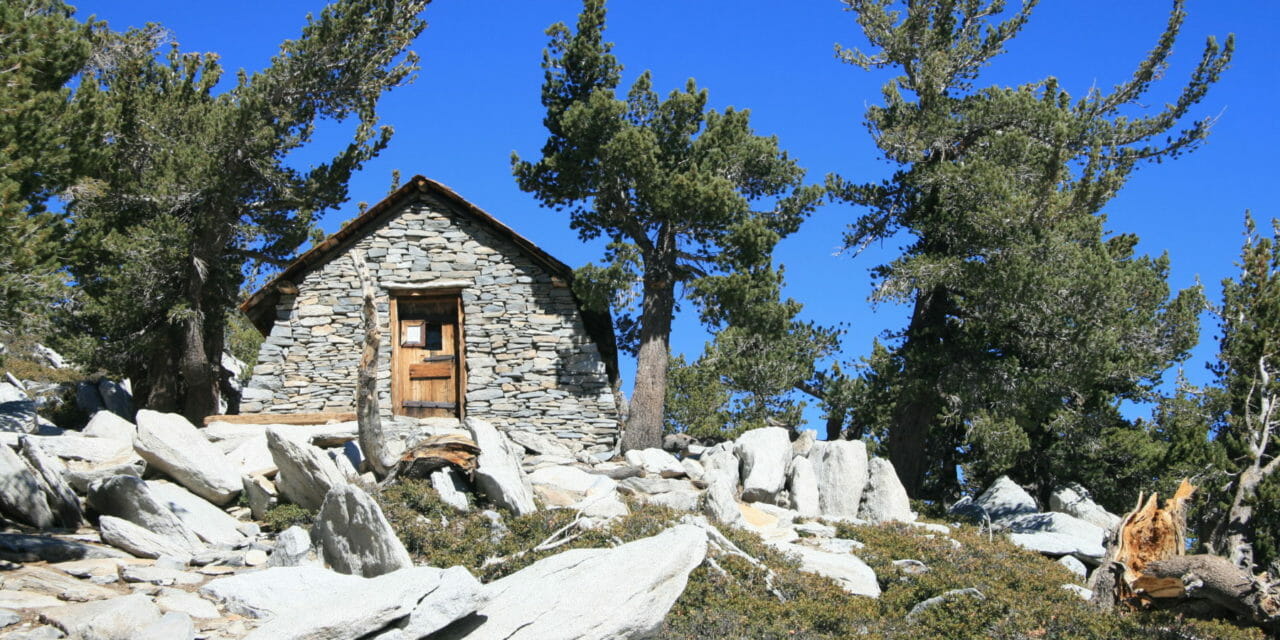
A CCC shelter built in 1933 sits about 500 yards below the peak.
Euro-American settlers in the area began climbing San Jacinto Peak in the 1870s with the first recorded ascent in 1874. The Wheeler Survey followed in 1878 and officially named the mountain “San Jacinto Peak.”
In that era, grizzly bears inhabited the mountain, but they’ve since disappeared from the region. More slowly disappearing is the survey’s name for the peak, which increasingly is known as Mount San Jacinto.
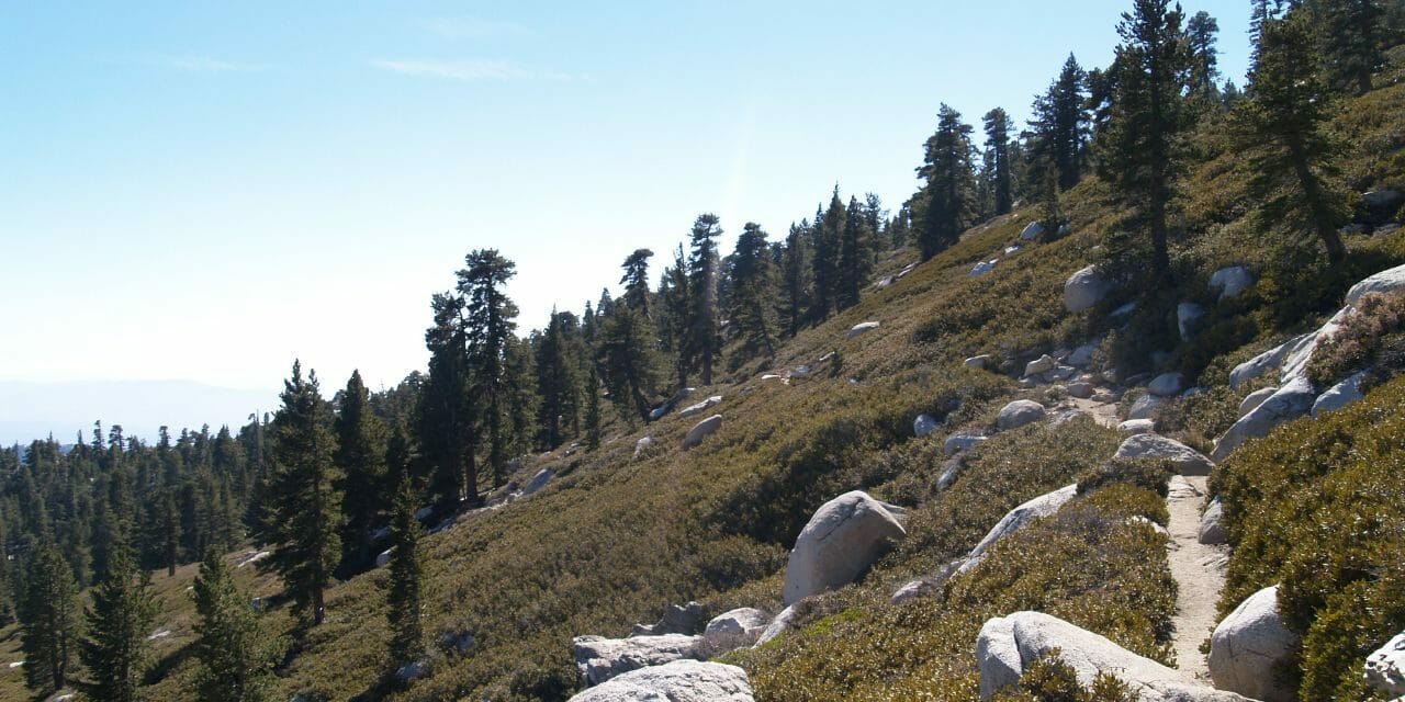
A mile from the ranger station, at a little more than 9600 feet, the trail reaches Wellman Divide. Here is divides between the Wellman Cienega Trail going south and the San Jacinto Peak going the opposite way. Turn right/north.
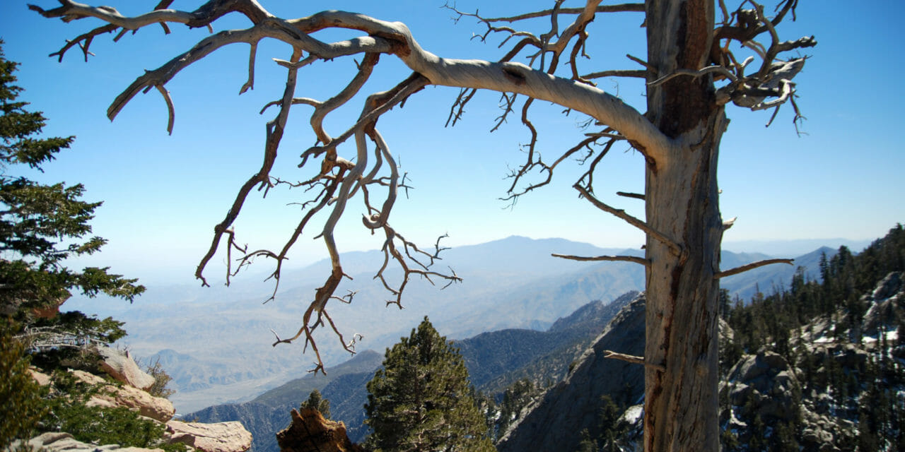
Lodgepole pines dominate at this higher elevation. Sporting twisted needles that spiral out, the highly adaptable lodgepole is among the few trees that can grow at a subalpine elevation. They depend upon forest fires to propagate, as heat breaks the pitch on their cones, releasing the seeds.
Upon leaving the pines, the trail makes a switchback through manzanita bushes. After completing the switchback, you’ll probably notice a cool wind picking up and how taking a few steps is even more difficult than at the tram station. The good news is you’re almost at the summit.
At 2.4 miles from Wellman Divide, go right/north onto the spur, also known as the Mt. San Jacinto Summit Trail. You’ll pass an emergency stone shelter built by CCC in 1930s. For the last 300 yards, you’ll scramble over granite boulders to the very top of San Jacinto Peak.
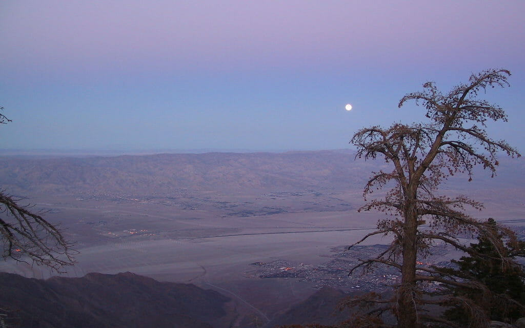
Palm Springs and the Coachella Valley from the top of San Jacinto Peak.
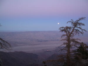
The views from the peak are fantastic. To the northwest is San Gorgonio Peak, the highest summit in Southern California. Little San Bernardo Mountains rises in the northeast. Looking east, you can see Palm Springs and Cathedral City in the valley below. The Santa Rosa Mountains are to the southeast. And on the clearest of days, the gleaming blue of the Pacific Ocean is visible to the west. As naturalist John Muir wrote, “The view from San Jacinto is the most sublime spectacle to be found anywhere on this earth!”
After taking in the sights, retrace your steps back to the tram station.
The best time to hike the peak is during summer. Temperatures here will be a pleasant mid 70s while the desert floor bakes at 115 degrees. Also, bring plenty of water.
Image Sources
- Palm Springs Aerial Tram: Palm Springs Aerial Tramway