Given their small size, the sequoias can be difficult to spot for those unfamiliar with local fauna.
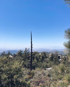
The trail begins in chapparal with remains from the 1974 Soboba Fire sometimes visible.
Hikers can see young sequoias and stay cool in the summer heat by heading to the San Jacinto Range’s northernmost peak.
The 7.4-mile round trip Black Mountain Trail does gain some 2623 feet elevation gain, so expect a workout. Located in the San Bernardino National Forest, on some maps, it appears as “Forest Trail 2E13.”
To reach the trailhead from the Coachella Valley, take Interstate 10 west through the Banning Pass. In Banning, exit onto Calif. Hwy. 243 and head south into the San Jacinto Mountains. In about 13 miles, just 1.25 miles beyond the Vista Grande ranger station, look for a sand road splitting to the left/southeast; a sign points out the road. Turn onto to the road and park in the lot. The trailhead is at about 5150 feet elevation.
Initially the trail traverses an area recovering from the 1974 Soboba Fire. Most of the landscape is chapparal. Coulter pines and black oaks also thrive there. A few charred remains from the fire still can be seen.
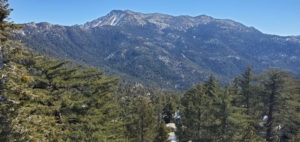
Great views await on the Black Mountain Trail.
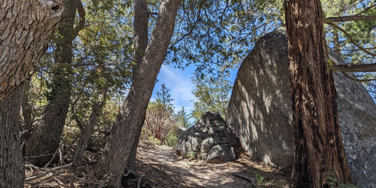
The trail soon enters a mixed-conifer forest. Look for fern and thimbleberry in the understory. Most of the trail is shaded from here on out.
At 2.3 miles, the Cinco-Poses Trail junctions from the right/southwest. Continue straight/southeast.
The trail then veers northeast, enters Hall Canyon, and crosses usually dry Indian Creek. The stream feeds Lake Fulmor, which sits alongside Calif. 243.
At about 3 miles, you’ll spot your first sequoia. Beginning at 7034 feet elevation just above the head of Hall Canyon, a total of 157 sequoias can be seen along the next 0.44 miles of trail.
Don’t expect to see the massive sequoias of Yosemite or Sequoia national parks in the Sierra Nevada, though. In Yosemite, the king of sequoias, Grizzly Giant, at an estimated 1900–2400-year-old stands about 210 feet high and 30 feet round at the base.
On Black Mountain, though, the young sequoias at best are about 40 feet high. Those are roughly a half-century old. The smallest among the sequoias are mere saplings no more than 1-2 feet tall.
Given their small size, the sequoias can be difficult to spot for those unfamiliar with local fauna. Look for a spire-shaped conifer with bright reddish bark, silver-green needles, and egg-shaped cones.
Sequoias are alien to Black Mountain. The U.S. Forest Service planted it there following the Soboba Fire.
At 3.5 miles, a connector trail leads to the Boulder Basin Campground (If you need a bathroom, there is one at the campground, a short walk off the main trail.). Continue straight/south up to final 230 feet of elevation to the summit.
At 3.7 miles, you’ll reach the peak. Black Mountain tops out at 7773 feet.
The summit usually is a good 20-25 degrees cooler than the Coachella Valley floor. Pacific breezes blowing in just the right direction can further push down the temperature.
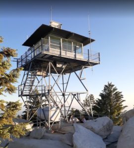
A fire lookout tower, built in 1962, sits atop Black Mountain.
A fire lookout, built in 1962, sits atop the boulder-strewn summit. Volunteers staff it May through October, and usually you can go up on the observation deck, which offers an impressive vista.
San Gorgonio Mountain and the Banning Pass can be seen to the north with Thomas Mountain and the desert valley to the south. Mount San Jacinto looms to the east. To give you an idea of where you are relative to the Coachella Valley, directly due east from Black Mountain’s summit is the Tahquitz River Estates south of downtown Palm Springs.
Once you’ve taken in the sites, retrace your steps down the granite mountain to the parking lot.
Image Sources
- The trail begins: Rob Bignell
- Great views: Rob Bignell
- Fire lookout tower: Rob Bignell
- Much of the Black Mountain Trail is shaded.: Rob Bignell

