
Pinyon Trail is 6.6-mile round trip

In addition to pinyons, you’ll find large boulders along the trail.
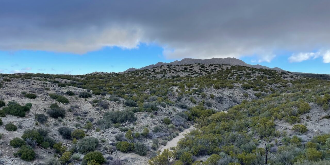
Hikers can explore a pinyon forest in the Coachella Valley’s foothills.
The 6.6-mile round trip Pinyon Trail 5E03 runs through the Santa Rosa and San Jacinto Mountains National Monument off of the Pines to Palm Highway. The trail is a good way to escape the valley floor’s heat during May and September without having to travel far.
To reach the trailhead, from Calif. Hwy. 111 in Palm Desert, take Calif. Hwy. 74 (the Pines to Palm Highway) south. Turn left/south onto Pinon Flats Transfer Station Road and park at the Sawmill/Cactus Spring Trailhead parking lot.
From the trailhead, take the Ribbonwood Trail west. In short order, the trail splits. Go right/west onto the Pinyon Trail.
You’re at about 4000 feet above sea level. This is still desert country, but with the higher elevation, the pinyon tree is able to grow in abundance.

The single-leaf pinyon is the world’s only one-needled pine.
In southern California, the single-leaf pinyon is the dominant species. It’s the world’s only one-needled pine. There are three subspecies of single-leaf pinyon, with the californiarum growing here. The californiarum can be found in the Coachella Valley’s northern foothills, but the subspecies monophyla is more prevalent there.
At 0.62 miles, the trail crosses Hwy. 74 to a pull-off parking area. Pick up the trail at the pull-off’s eastern end. The trail briefly follows Omstott Creek, an intermittent stream. The community of Pinyon Pines is to your right/northeast.
Pinyon pine typically grows at moderate altitudes ranging from 3,900 to 7,500 feet, although it can be found as low as 3,120 feet and as high as 9,500 feet. It forms extensive open woodlands and often is mixed with juniper.
At 1.2 miles, the trail crosses Palm Canyon Drive.
Single-leaf pinyon pine can reach from 33 to 66 feet, though at this elevation they’re usually on the shorter end. Their trunks grow up to a diameter of 31.5 inches but rarely more.

Pinyon Trail topo map
The trail then angles northwest, crossing a couple of intermittent streams. Alpine Village is to your right/northeast.
The pinyon pine’s leaves – its needles – are stout and measure from1.5 to 2.25 inches in length. They have a gray-green to blue-green color.
At about 3 miles, the trail climbs straight up a hill then switchbacks down it. You’ll cross another stream and then arrive at the junction with Palm Canyon Trail, which runs through the Palm Canyon Creek California National and Wild Scenic River area.
The junction, at 3.3 miles, marks a good spot to turn back.
There’s no shade on the Pinyon Trail, so be sure to don sunscreen, sunglasses and sunhat.
Image Sources
- The Pinyon Trail heads through a pinyon woodlands in the Coachella Valley foothills.: Rob Bignell
![60 Years of Advancing Student Dreams [Sponsored]](https://ukenreport.com/wp-content/uploads/2024/05/C29_1U4A4681-440x264.jpg)


