The Fobes Saddle Trail and a short side on the Pacific Crest Trail to Spitler Peak, is one such escape.

The route to Fobes Saddle on the Desert Divide follows a ridge alongside Fobes Canyon.
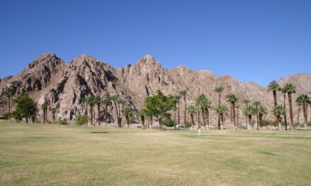
As summer temperatures soar across the Coachella Valley floor, among the best places to get some relief is in the higher surrounding mountains.
The Fobes Saddle Trail and a short side on the Pacific Crest Trail to Spitler Peak, is one such escape. The 5.4-mile round trip route heads through verdant sections of the San Bernardino National Forest, most of it a mile above sea level.
To reach the trailhead, from Calif. Hwy. 111 in Palm Springs, take Calif. Hwy. 74 (The Pines to Palms Highway) south into the mountains. In Garner Valley, turn right/northeast onto Fobes Ranch Road – it’s between Riverside County Fire Department Station 53 and the Caltrans Keen Camp Maintenance Station. Follow the dirt road, which appears on some maps as Forest Route 6S05, through Fobes Canyon about four miles into the foothills. A small parking area is on the right side with the trail heading northeast from it.
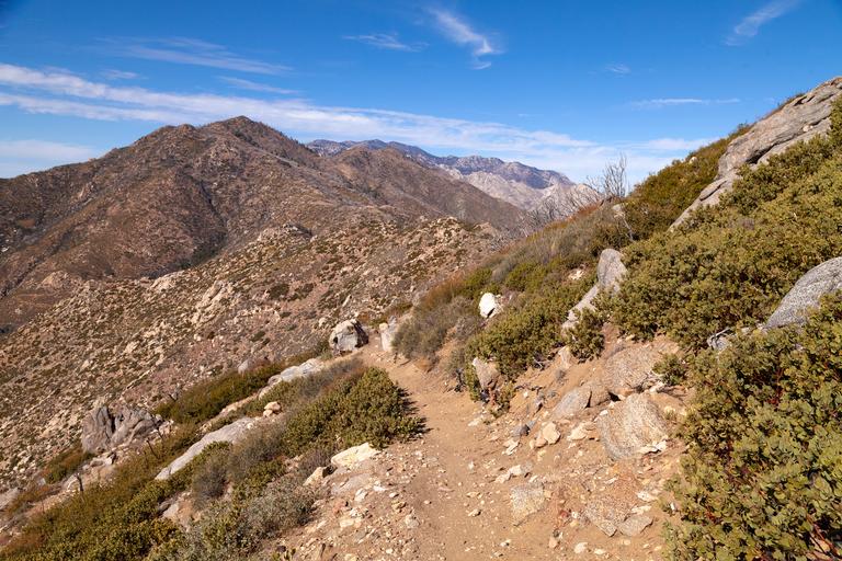
At 0.36 miles, the route splits with a jeep trail going right/west around a small ridgeline. Take the narrower trail – the Forbes Saddle Trail – heading north.
The split is at about 5240 feet elevation, so you’ll notice the chapparal and scrub brush giving away to more greenery the farther you go.
Gradually the trail climbs up the side of a mountain on the Desert Divide, the San Jacinto Mountain range that separates the Coachella Valley from the desert to the south.

The view just below the Spitler Peak summit offers an expansive view of the Coachella Valley.
The Desert Divide, which includes Mount San Jacinto, formed about 95-100 million years ago, during the Age of the Dinosaurs, when cooling magma moved into the underside of the Earth’s crust. It hardened as granite and remained miles beneath the Earth’s surface as the rock above slowly eroded.
Around 20 million years, the San Andreas Fault formed where the Pacific and North American tectonic plates met. As the plates slid against one another, the land crumpled and rose upward.
Much of the divide’s elevation gain has occurred during the past 5 million years. The divide, in fact, continues to rise, about two inches a year.
As ascending the trail, you’ll find an increasing number of trees, mainly California black oak and Coulter pine. There also are patches of burned-out trunks, destroyed by forest fire several years back.
At 1.5 miles, the trail reaches the Fobes Saddle, a dip between Palm View Peak (to the right) and Spitler Peak (to the left). The saddle offers a good view of southern Palm Springs and northern Cathedral City. You’re at about 5900 feet elevation.
A better view awaits farther up Spitler Peak. Turn northwest on the Pacific Creek Trail and continue your ascent.
At 2.7 miles, you’re in the shadow of Spitler Peak’s summit, which tops out at about 7372 feet. No spur trail heads to the summit, but the view from the peak’s northside is still grand. The same sights as from Fobes Saddle await, but at the higher elevation, the view is more expansive. The green strips of draws that ultimately flow into Palm Creek also stand out as they snake through the desert foothills.
After taking in the views, retrace your steps back to the trailhead.
While much of the hike runs amid shrubs and trees, you’ll still want to don sunscreen, sunglasses and sunhat, as parts are exposed to the sun. Always bring plenty of water as well.
Image Sources
- Much of the hike’s first quarter runs through scrub brush and chapparal.: Rob Bignell