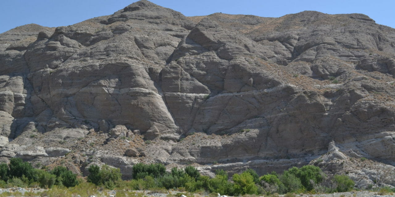
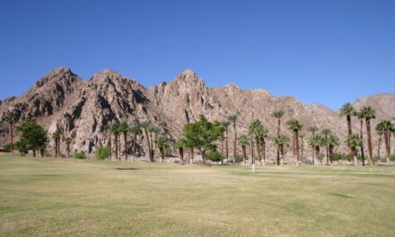
Day hikers can walk alongside the only river that runs the Coachella Valley’s entire length.
The 3.75-miles looping Canyon View Trail sits in the 2851-acre Whitewater Preserve, managed by the Wildlands Conservancy. A section of the route is part of the Pacific Crest Trail and sports a 650-foot elevation gain.
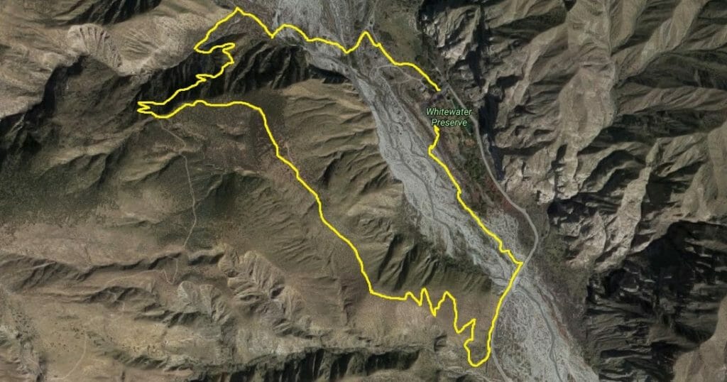
Canyon View Trail map
To reach the trailhead, from I-10 in the northern Coachella Valley take exit 114 and turn north onto Tipton Road. Near the exit ramps, go left/north onto Whitewater Canyon Road. The road ends in about 4.7 miles at the preserve’s ranger station. Park there and from the lot pick up the trail, which heads northwest into the canyon.
Well-marked with rocks lining the path, number of other footpaths crisscross the route, so be sure to bring a map.
In 0.15 miles, the trail comes to a wooden post with an arrow pointing right. Go that direction and onto the PCT.
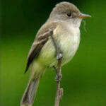
The endangered Southwest willow flycatcher makes its home in the Whitewater Preserve. USFWS Photo
The trail next enters the river’s floodplain. This is a great spot for birdwatching. Look for the endangered Southwest willow flycatcher, a small perching bird with brownish-olive upper body, whitish throat pale olive breast, and two light wing bars. During the 1990s, fewer than 1200 pairs remained, mainly because of urban development destroying its riparian habitat. The Bell’s vireo also can be spotted here, and during the annual migrations the summer tanager and vermilion flycatcher stop off at the preserve.
About 0.5 miles from the parking lot, the trail crosses the Whitewater River via a wooden footbridge. Depending on the amount of snow and rain the San Bernardinos receive and the season, sometimes the bridge is washed out (usually spring) and sometimes you can hop across the rocks (usually autumn). Most of the year, the river is ankle- or calf-deep at best.
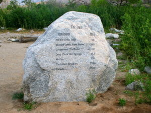
A boulder near the trail’s start gives the distances to spots that can be reached from it via hiking.
The main river that flows through the Coachella Valley, the Whitewater runs 54 miles. Its North Fork starts at more than 10,000 feet high on San Gorgonio Mountain, with the meltwater flowing out of the San Bernardino Mountains making for a cold stream and a lush canyon.
Upon reaching the desert and the preserve, much of the river water drips through the porous valley floor and eventually pools in the Coachella Valley aquifer. Farther downstream, near Coachella, the Coachella Canal replenishes the river with water diverted from the Colorado. Ultimately, the Whitewater River drains south of Mecca into the Salton Sea.
About 0.66 miles in, the PCT splits; go left/south. The Canyon View Trail enters a side canyon and then heads uphill via a series of switchbacks. If with a hiking partner, you’ll need to walk single file. The trail gains about 475 feet until reaching the ridge above the canyon.
At the top, watch for the wooden post for PCT and turn left off of it onto the Canyon View Loop Trail. The level route runs alongside Whitewater Canyon’s westside, offering nice views of San Jacinto Mountain and the Santa Rosa Mountains.
Eventually the trail dips slightly but then rises to a great panorama of the preserve. Deer, bear and bighorn sheep all have been seen at Whitewater.
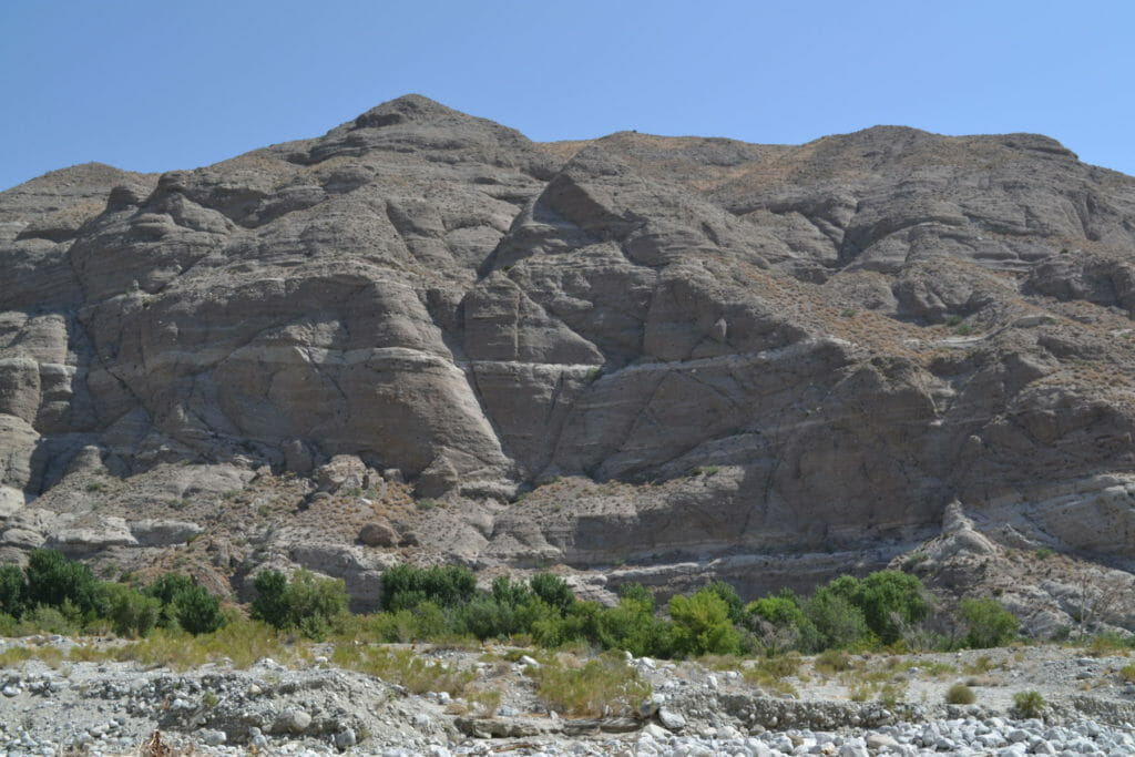
Rock walls rise above the Whitewater River.
At about 2.35 miles, the trail descends into Whitewater Canyon. Parts of this section can be rocky, so watch your step. The reward for the hard work are great views of the river flowing from the canyon’s north end alternating with windmills in San Gorgonio Pass and the San Jacinto summit to the south.
Once at the canyon bottom, walk northeast along the side of road. Cross the river via the road’s bridge and then look for a trail curving into the floodplain away from the asphalt.
In just under a half-mile from the road, the trail passes the ranger station and arrives at your parking lot.
As the entire trail is in the open desert, always don sunscreen and sunhat as well as bring plenty of water. (You don’t want to drink from the river.) Leashed dogs are allowed on the trail. There’s no fee to enter the park, which is open from 8 am to 5 pm; you’ll want to start the hike at least a couple of hours before closing time to ensure you are not trapped in the preserve as the gates are locked when the park closes.

