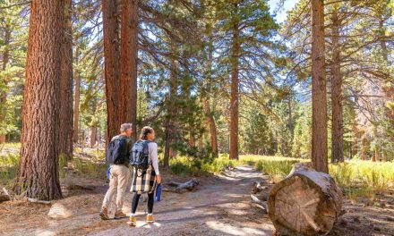
You don’t have to drive far from the Coachella Valley to see volcanic activity – it’s not in the form of an erupting cinder cone, of course, but it’s still prevalent. Ancient volcano flows and still active geothermal area sit at the south end of the Salton Sea in a trio of short day hikes.
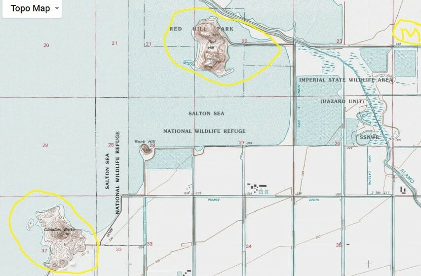
Salton Sea Geothermal Area Topographical Map
To reach the region, take Calif. Hwy. 111 south to the southeastern end of the Salton Sea. Next, turn on West Lindsey Road toward the sea and then right onto Severe Road. You’ll pass a number of geothermal plants have been constructed to take advantage of the volcanic area. Temperatures at just less than a mile below the surface can reach 680 degrees Fahrenheit.
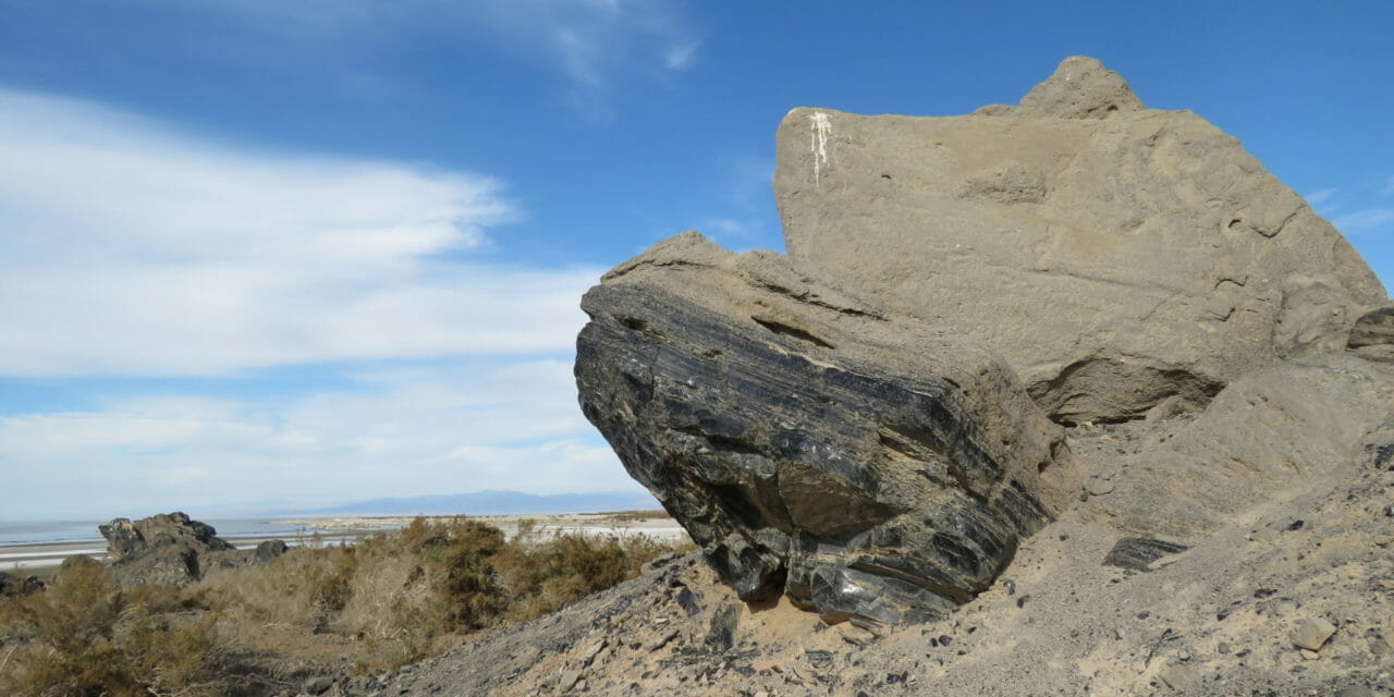
First stop on the hike is Obsidian Butte, a 2000- to 3000-year-old volcanic dome that largely consists of pumice and black obsidian, formed when slow-moving lava rapidly cooled. Shards of the black glass still can be found a couple of hundred yards away from the dome, which sits at the sea’s edge.
Obsidian Butte is one of several volcanic domes rising from the Salton Sea’s shores.
Scientists previously believed the butte and other volcanic domes erupted up to 30,000 years ago. If the butte were that old, however, it would be buried under sediment, geologists say. Indeed, there’s no indication that Native Americans living in the area used obsidian from the butte earlier than 610 BC.
Next, drive away from the sea on McNerney Road. Turn north onto Boyle Road and then right again onto Estelle Road (sometimes referred to on signs and maps as West Sinclair Road). Turn left onto Garst Road, which curves onto Red Island in the Sonny Bono Salton Sea National Wildlife Refuge.
The northern of two domes on the island consists of pumice boulders and rhyolite with a smattering of obsidian. Some of the obsidian rocks are about the size of two fists.
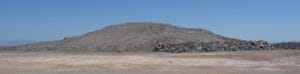
The dome is one of four small volcanoes — from southwest to northeast, Obsidian Butte, Rock Hill, Red Island, and Mullet Island — that make up the Salton Buttes. Even preschoolers can scamper to the top of the northern dome, which provides a panoramic view of the Salton Sea.
The sea and alluvium laid by previous river flows has buried much of the four domes.
East of the Salton volcanic buttes sits a series of mudpots on a clay field. It is located at the corner of Schrimpf and Davis roads. To reach it, from Garst Road follow Red Hill Road (which becomes Schrimpf Road) across the causeway; some maps label it as the Davis-Schrimpf Seep Field.
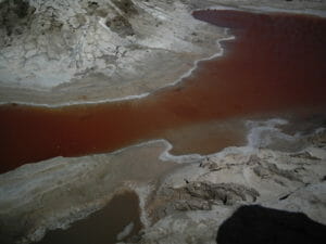
The mudpots are an array of colors thanks to the different bacteria that thrive in them, based on the water’s temperature.
The mudpots will be the adventure’s highlight if you’ve brought kids with you. Water bubbles up from multiple sinkholes and gurgles out of fumaroles. A yellow-green bacteria calls one of the mudpots home while red bacteria resides in another puddle only a few yards away.
You’ll want to wear boots into the mudpot field, as it will cake on your shoes. A sulfide stench also covers the field, but it is not overwhelming. Also, don’t get too close to the mudpots as the water coming from them will burn.
Finally, this is the Colorado Desert and gets hot. You’ll need to limit your hikes to October through mid-April and always bring plenty of water.
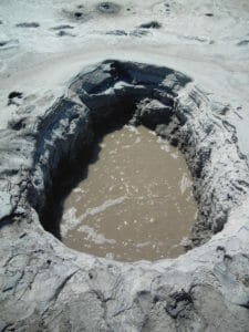
A field of Yellowstone-like mudpots sits at the Salton Sea’s southeastern end.
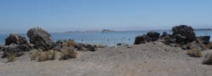
Red Island and Rock Hill rise across the Salton Sea from Obsidian Butte.