The trail runs up to 16.2 miles round trip.
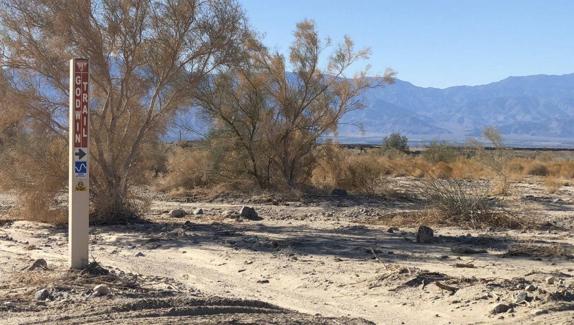
Day hikers can enjoy great views of the Salton Sea from the edge of the Mecca Hills on the Godwin Trail.

The canyon the Godwin Trail cuts through is fairly wide with low walls.
The trail runs up to 16.2 miles round trip. Though an off-highway vehicle trail, it also can be day hiked, and so long as you’re not there on weekends, odds are against you running into Jeeps, dirt bikes or three-wheelers. The trail is best done October to May before the heat soars to unsafe heights.
To reach the trailhead, take Calif. Hwy. 111 to Mecca. Turn left/northeast onto Fourth Street then at the roundabout go right/southeast onto Hammond Road. After a couple of blocks, go left/east onto 66th Avenue. As the street curves northeast, it naturally becomes Box Canyon Road. After crossing the canal, look for where powerlines cross the road. Park off the side of road. If you’ve passed the Painted Canyon Road junction, you’ve gone too far.
Follow the powerlines across a wash on the Coachella Canal’s north side. You’ll want to wear quality hiking boots, as you’ll slog through deep sand at times.
The 122-mile Coachella Canal runs southeast to the All-American Canal, which draws water off the Colorado River on the California-Arizona border. Concrete reinforces the canal to prevent water seepage, and some of it is stocked with grass-eating fish to prevent water loss from aquatic vegetation.
Construction on the canal began in the 1930s but was paused during World War II. The canal finally was completed in 1949. It can handle a flow of up to 1,300 cubic feet per second.

The Godwin Trail ends where the Meccacopia Trail begins in the badlands.
While the powerlines hardly are getting back to nature, if you can set them aside, to the south you’ll get great views of the Salton Sea, some of the green farmland bordering it, and the Santa Rosa Mountains. To the north is the eastern Mecca Hills.
At 3 miles, you’ll see a pumping station where the canal briefly splits. Go left and into the wide canyon running north of and away from the canal.
The Godwin Trail winds through the badlands with plenty of side canyons and colorful rock formations.
The Mecca Hills are being uplifted as the North American and Pacific tectonic plates slide against one another along the nearby San Andreas Fault. When rain falls across the almost barren hills, the rushing water cuts through the rock, forming the canyons. Wind then continues to shape the clefts and gorges.
Some of the exposed rock at the canyons’ lowest points are more than 600 million years ago. The process of erosion continues today, leaving a layer of soft sand across the canyon floors.

Godwin Trail topo map
As the Godwin Trail is the edge of the Mecca Hills, the walls are not quite as high or as dramatic as those deeper in the badlands. Still, it’s a testament of Mother Nature’s power that rain can dig such a canyon in a desert.
You’ll reach the Meccacopia Trail at 8.1 miles. This is a good spot to turn back and retrace your footsteps back to your vehicle.
Should off-highway vehicles also be on the trail, hikers should step aside and let them pass. In addition, there’s absolutely no shade on the trail, so be sure to don sunscreen, sunglasses and sunhat.
Image Sources
- 02-The-canyon-the-Godwin-Trail-cuts-through-is-fairly-wide-with-low-walls.: Rob Bignell
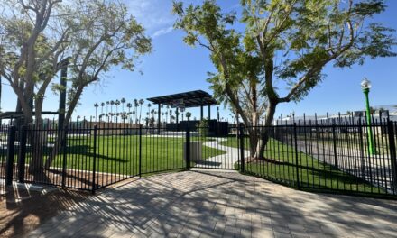
- The Godwin Trail starts: Rob Bignell