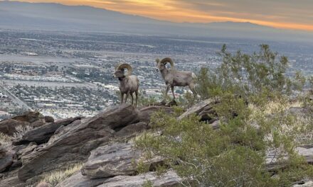
As the valley floor simmers in summer heat, the best way for hikers to escape it is to gain some elevation. Locally, that means getting high up on either Mount San Jacinto or San Gorgonio Mountain.
One easy and beautiful trail on the latter is the 7.2-miles round trip Johns Meadow Trail. It sits at more than 7200 feet above sea level in alpine country so during summer you’ll be a comfortable in just a T-shirt most of the day.

The Johns Meadow Trail runs alongside a mountain in the San Gorgonio Wilderness.
To reach the trailhead, from the Coachella Valley take Interstate 10 west over the Banning Pass. In Yucaipa, go right/northeast onto Oak Glen Road then left/north onto Bryant Street. Next, go right/north onto Calif. Hwy. 38. This heads into the San Bernardino National Forest. When the highway leaves the canyon and veers north, you’ll start to gain some major elevation. Turn right/east onto Jenks Lake Road West. Take the next right/south onto the dirt Forest Road 1N82. Park in the dirt lot on the left/west.
Begin the hike by walking FR 1N82, which is on the right/east. You’ll head through a fragrant and cool evergreen forest. You’re at about 6550 feet above sea level and gradually will gain elevation.
“Meadow” is a bit of a misnomer for this hike. It does traverse the edge of a flat area between San Gorgonio Mountain and the Big Bear Lake region, but that’s about where the idea of a “meadow” ends. Trees entirely fill the flat, and the route itself heads along the side of a mountain.
At 0.1 miles, the road junctions with a trail from the southwest. Continue right-straight/southeast.
Almost all of the trees along the way are evergreens. The most common at this elevation are yellow pine, Jeffrey pine, incense cedar, and several fir species.
The road intersects a trail from the south at 0.5 miles. Take that new trail by turning left/south.

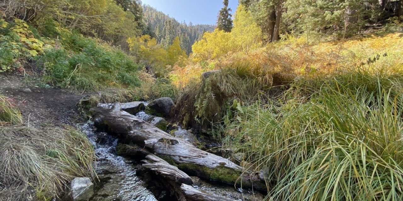
Various wildflowers, including lupine, grow along the trail, especially near the creeks.
Though the trail is almost entirely shaded, there are pretty wildflowers to be seen beneath the forest canopy. Among them are blue columbine, Indian paintbrush, lupine, and snow flower. Moss and ferns also can be seen at various spots.
At 0.7 miles, you come to another trail. Go right/southeast.
You’re now officially in the San Gorgonio Wilderness. The 96,595-acre region, which is part of the national forest, protects the area surround the San Gorgonio Mountain. It’s a small oasis of wilderness between the urbanized basin stretching to the ocean and the Mojave Desert beyond the mountains to the north and east.
The trail splits at 0.8 miles. Go right/northwest. You’re now on the Johns Meadow Trail proper.
More than 400 different animal species inhabit the forest. Among the larger of them are mule deer and black bears. The black bears are not native to the mountains but were brought here in the 1930s to attract tourists.
The trail is mostly level, sticking to about 7055 feet elevation, but there are some ups and downs, especially when coming to creeks. In all, there are five streams. The first of them is Ciennaga Creek, then Stetson, an unnamed one that joins Forsee Creek to the north, then Forsee Creek itself, and then another unnamed one that feeds Forsee.

A bank of mountains rises north of the trail. The Big Bear Lake area sits atop those mountains.
At 3.6 miles, the trail reaches the end of Johns Meadow, which sits at 7300 feet elevation. This marks a good spot to turn around.
There really aren’t any vistas on the trail, but the evergreens more than make up for it. You will see mountains rising over the trees, though. Most notable is San Gorgonio Mountain’s peak, which rises to 11,502 feet to the southeast and is the highest peak in Southern California. San Bernardino Peak reaches 10,578 feet to the south and will be the one you see the most simply because of the trail’s direction To the north, a bank of mountains rise to around 7800-7900 feet; atop it is Big Bear Lake.
After crossing the last of the five creeks, retrace your steps back to your vehicle.

Johns Meadow Trail terrain map.
Image Sources
- 05-various-wildlfowers-including-lupine-grow-along-the-trail-especially-near-the-creeks.: Rob Bignell
- A bank of mountains: Rob Bignell
- The trail crosses five creeks: Rob Bignell