Several communities make up the Coachella Valley, and all of them deliver great hiking trails. For snowbirds and tourists arriving here for winter – the valley’s prime hiking season – figuring out what each of those towns are about and the trails they offer can be a little confusing. Here’s a primer. (Follow the links to a great trail in each community.)
The valley’s cities mostly are connected by Calif. Hwy. 111 and are south of Interstate 10, the exception being Desert Hot Springs.
Tucked in the valley’s northwest corner, Desert Hot Springs hugs the base of the Little San Bernardino Mountains. The city boasts more hot mineral springs than any other in the United States and is one of the few places in the world with both hot and cold mineral springs. In addition, the city’s mineral springs are among the few that are odorless. Desert Hot Springs also is the gateway to the high desert with a road leading to Morongo Valley and Joshua Tree National Park.
With 300 days of sunshine and just under 5 inches of rain a year, Palm Springs is the valley’s original resort town. The city’s (and much of the valley’s) population triples in winter as snowbirds descend upon the town. Tourists push the population even higher. When the Agua Caliente Reservation was established in 1876, its land was set in a checkerboard pattern of 640-acre sections in what is now Palm Springs. During the 20th century, the city’s exceptional weather attracted and became the home to many movie and television stars, chart-topping musicians, and other celebrities.
Located south of Palm Springs, Cathedral City is the valley’s second most populous city. It was so named because an Army officer in 1850 thought a rock formations there looked like a cathedral. During the 1990s to early 2000s, the city underwent a major downtown revitalization. More recently, it has undertaken a Public Arts Initiative aimed at making the community a haven for the arts.
Incorporated in 1973, Rancho Mirage is the home of several wealthy and famous Americans, perhaps most notably former President Gerald Ford. The world-renowned Betty Ford Center is located there.
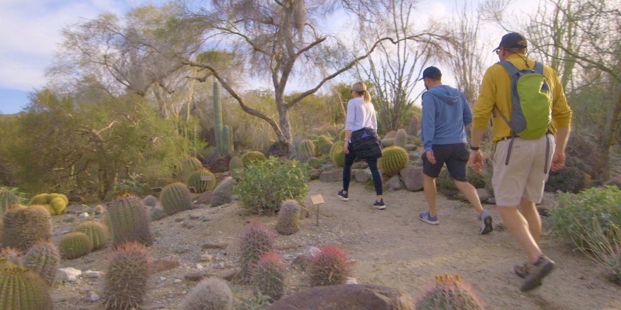
At valley’s urban center is Palm Desert. A major retail center, it offers the upscale El Paseo shopping district, which is similar to Beverly Hills’ Rodeo Drive. For those interested in the natural world, it’s home to the Living Desert Zoo and Gardens. Calif. Hwy. 74 – the Palm to Pines Highway – offers access to the mountains, Orange County and San Diego beyond. Several trails in the foothills and mountains can be reached from Hwy. 74.
The smallest city in the valley, Indian Wells, boasts a population of less than 6000. Its Indian Wells Tennis Garden annually hosts the world’s sixth-largest tennis tournament. South of it is La Quinta, host of a PGA golf tournament and considered by many to be the United States’ leading golf destination. The valley’s iconic bighorn sheep often can be seen in the foothills and on the golf courses there.
The Coachella Valley’s southern portion has undergone explosive growth in the past two decades. Indio, the valley’s second largest city, nearly doubled its population between 2000 and 2017 to 90,000 residents. It is the home of the highly regarded and anticipated Coachella Valley Music and Arts Festival.
While traditionally the urbanized Coachella Valley “ended” at Indio, two communities beyond it are inextricably linked to the other communities. The rural and agricultural Coachella has seen its population grow by more than 39,000 people since incorporating in 1946. Unincorporated Mecca sits on the Salton Sea’s north shore and is 150 below sea level.
Several small communities hug the Salton Sea’s shores. A dry lake bed for the past several thousand years, in the early 1900s a canal overflowing thanks to heavy snowmelt and rainfall resulted in it settling at the basin’s lowest point, creating the sea. Initially this was thought to be a boon and the sea was envisioned as a resort area. Agricultural runoff and the lake’s rising salinity as it evaporates have killed off many of the fish there.
While not a community per se, overlooking the valley atop the High Desert is Joshua Tree National Park. Named for the park’s Joshua trees, which only can be found in the Mojave Desert, the park is larger than Rhode Island. It became a national park in 1994.
Image Sources
- Hiking at The Living Desert: The Living Desert